The third in a series of posts containing the odd assortment of photographs taken along Route 66 which don’t necessarily need to be forced into another group of photos. I’ve also begun shooting laying or sitting on her center line at various intervals to show the rapidity and extremeness with which she changes along her remaining length. Those are slowly becoming a series unto themselves.
Route 66, near Texola OK.
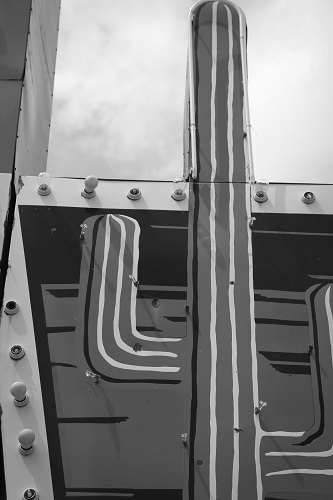
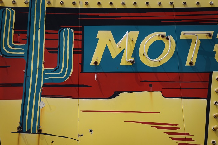
Sayre OK
Sayre OK
Between Elk City and Sayre OK.
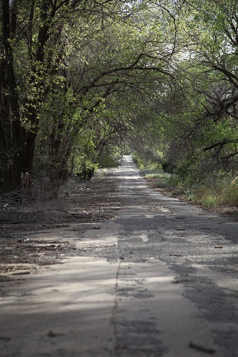
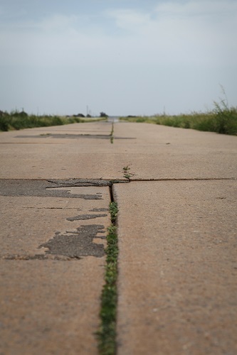
Somewhere near Erick OK. Original 66 is decommissioned through this area and runs directly parallel to State Highway 40. Nature is swallowing her back up, making her look eerily like her own tombstone.
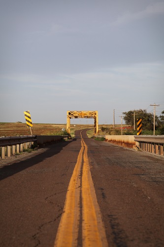
One of Route 66’s original truss bridges.
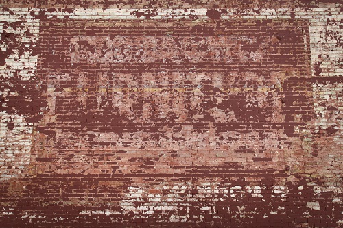
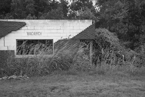
The following are part of the photographs taken in Hext, OK. I knew in advance that Hext is considered a ghosttown, but didn’t realize that it really is almost gone. The following are of the church and school (now used as a barn). Very little else is left and all of it stands on private property. Nevertheless, I had to stop, because aside from it being one of Oklahoma’s original towns on 66, how cool is the name Hext?

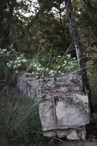
The cornerstones that would have originally had WPA and the date carved into them around Hext school and the surrounding fence (seen above) are gone and the school itself is currently serving as a barn while it collapses. If like me you have an interest in the vanishing building projects of the WPA/CCC era it is worth stopping, otherwise there is nothing left to see.

So is Rt 66 not a contiguous highway anymore?
I do love that shot of the decommissioned road and the truss bridge, too
Thank you and no it isn’t. Oklahoma has the longest remaining continuous stretch and Missouri has a good deal left, but in places like Arizona and New Mexico she’s being eaten up by the land in many places. There is more of her left than people think, you just have to find her. She’s usually hidden under the name “frontage road” or “county road”.
Beautiful textural images, including the ones of the road leading away.
Thank you 🙂
You’re welcome.
Marvelous photos!! 🙂
Thank you 🙂
Pingback: Cee’s Which Way Photo Challenge: 2014 #27 | Cee's Photography
Congratulations! I have selected this post to be featured on Cee’s Which Way Photo challenge.
http://ceenphotography.com/2014/12/31/cees-which-way-photo-challenge-2014-27/
Happy New Year!
Thank you so much 🙂
You are welcome.
All the stories about Route 66 and these wonderful photos, too! Awesome. Congratulations to you!
Thank you very much. 🙂
Pingback: Cee’s Weekly Wrap Up – January 3, 2015 and Northwest Trek Photos | Cee's Photography